
In a significant stride toward enhancing geospatial capabilities, KITS proudly collaborated with the National Survey Authority (NSA) of Oman to deliver an extensive Pix4D training workshop. This initiative aimed to empower the NSA team with advanced skills in aerial photography, GIS, drone operation, and more.
Quality Assurance and Accuracy Enhancement
The workshop placed a strong emphasis on quality assurance within Pix4D to elevate the accuracy and reliability of geospatial outputs. Key discussions included:
- Strategies to address image distortion
- Mitigating environmental variables that impact accuracy
As a result, the NSA team produced geospatial data that met the highest standards of precision, enhancing the credibility of their mapping projects.
Proficiency in Drone Operation
A key focus of the workshop was the practical application of drone technology, covering both fixed-wing and rotary drones. Participants gained hands-on experience in:
- Designing precise flight plans
- Ensuring optimal coverage for data acquisition
- Selecting and identifying Ground Control Points (GCPs)
These exercises laid the foundation for accurate and reliable geospatial data collection.
Data Analysis and Interpretation
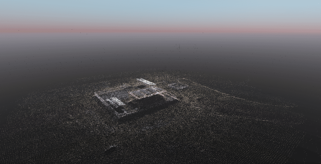
The training also explored the post-processing phase in Pix4D, with a deep dive into data analysis and interpretation. NSA professionals were trained in:
- Advanced techniques for extracting useful insights from aerial imagery
- Creating and analyzing 3D models
- Making informed decisions through improved data interpretation
By honing these skills, NSA experts are now better equipped to enhance the quality and utility of their aerial mapping outputs.
This collaborative effort between KITS and the NSA marks a significant milestone in empowering geospatial professionals for the evolving landscape of aerial photography, GIS, and drone technology.
Date: June 11, 2023
Status: Completed