GIS & Drone Survey Training Programme
Department-wide training for Oman’s National Survey Authority. Modern GIS, drone survey methods, and Pix4D processing.
ClientNational Survey Authority of Oman
LocationOman
The Brief
The National Survey Authority of Oman required department-wide capability in modern geospatial practice: GIS techniques, drone survey, and photogrammetric processing.
DeliveredWhat we
What we
built
Department-wide training on modern GIS techniques
Drone survey methods, from flight planning to data capture
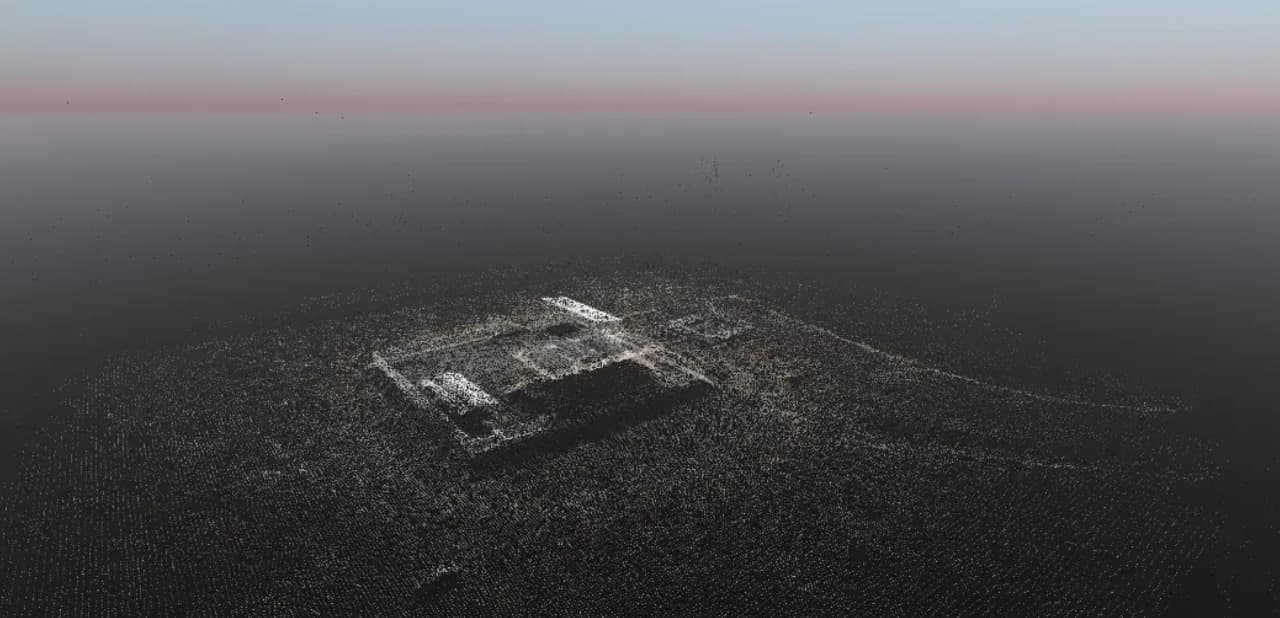
Pix4D processing workflows, from raw imagery to survey-grade outputs
The Curriculum
Transferred to them.
The measure of a training engagement is what remains after the trainers leave. The programme ran department-wide, and ended with the authority running the workflows independently.
Modern GIS techniquesSpatial data, analysis, cartography
Drone survey methodsFlight planning to data capture
Pix4D processingRaw imagery to survey-grade outputs
All projectsNext Project
SportProsUSA Lead Generation
SportProsUSA