
Service
DataAnalytics&AIAutomation
If something is visible in satellite imagery or sits in GIS data, we can detect it, count it, classify it, and track how it changes. Detection pipelines, pattern analysis, trend work, and automation.
Bring us a question that lives on a map.
q
How many of these objects exist across the whole city?
aObject detection over aerial and satellite imagery
q
What changed here over the last twenty five years?
aChange detection and trend analysis
q
Which districts carry the highest health exposure?
aGIS in epidemiology and health sciences
q
What pattern repeats across ten thousand scenes?
aPattern detection at scale
q
Can it run every morning without an analyst?
aFully automated detection pipelines
q
Where are our next thousand customers?
aProspect detection and commercial catalogues
Solved questions for EpidemiologyPublic healthAgricultureForestryUrban planningEnergyEnvironmentCommercial prospecting
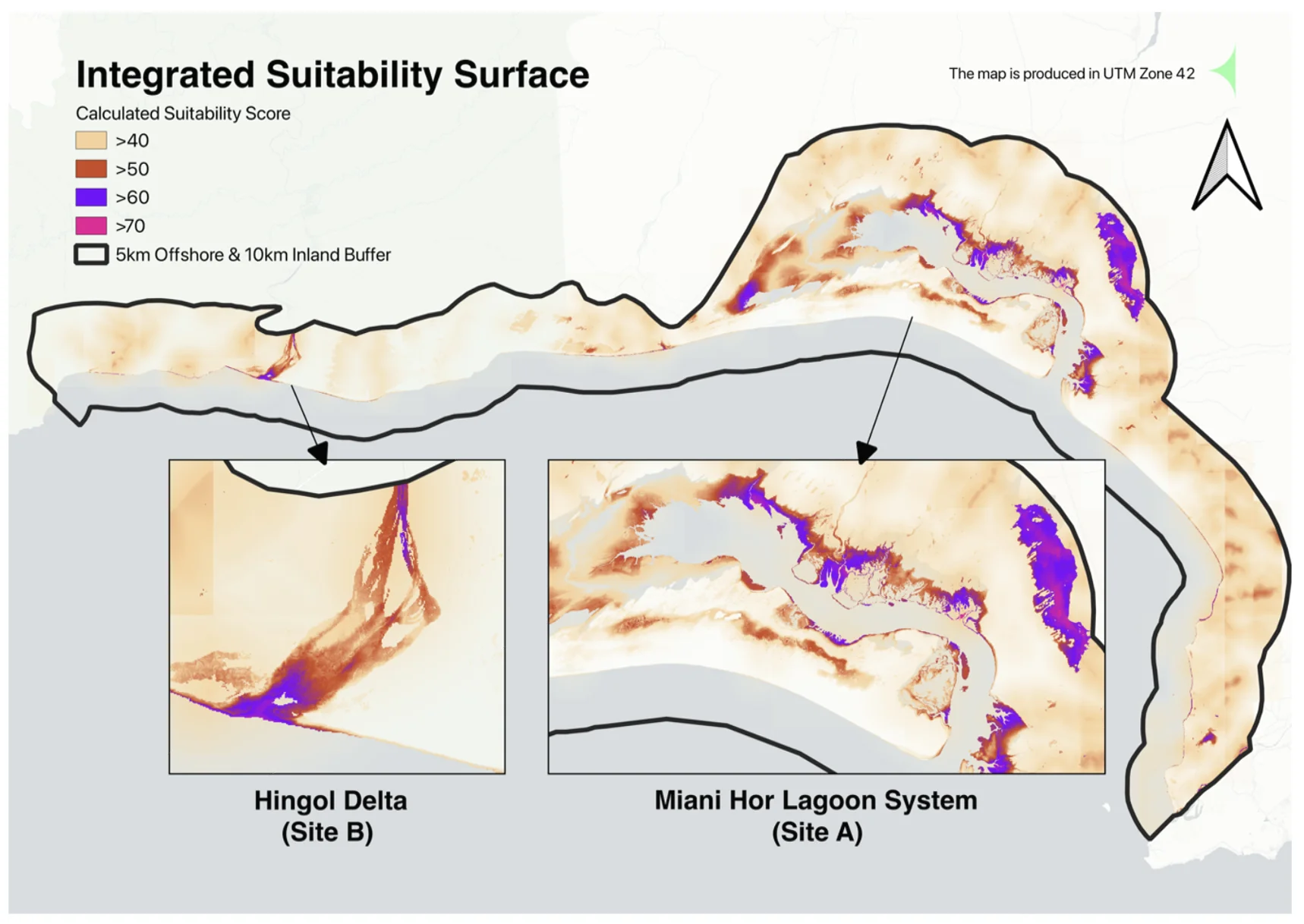
Applied across public health, commercial prospecting, and coastal ecology.
All projects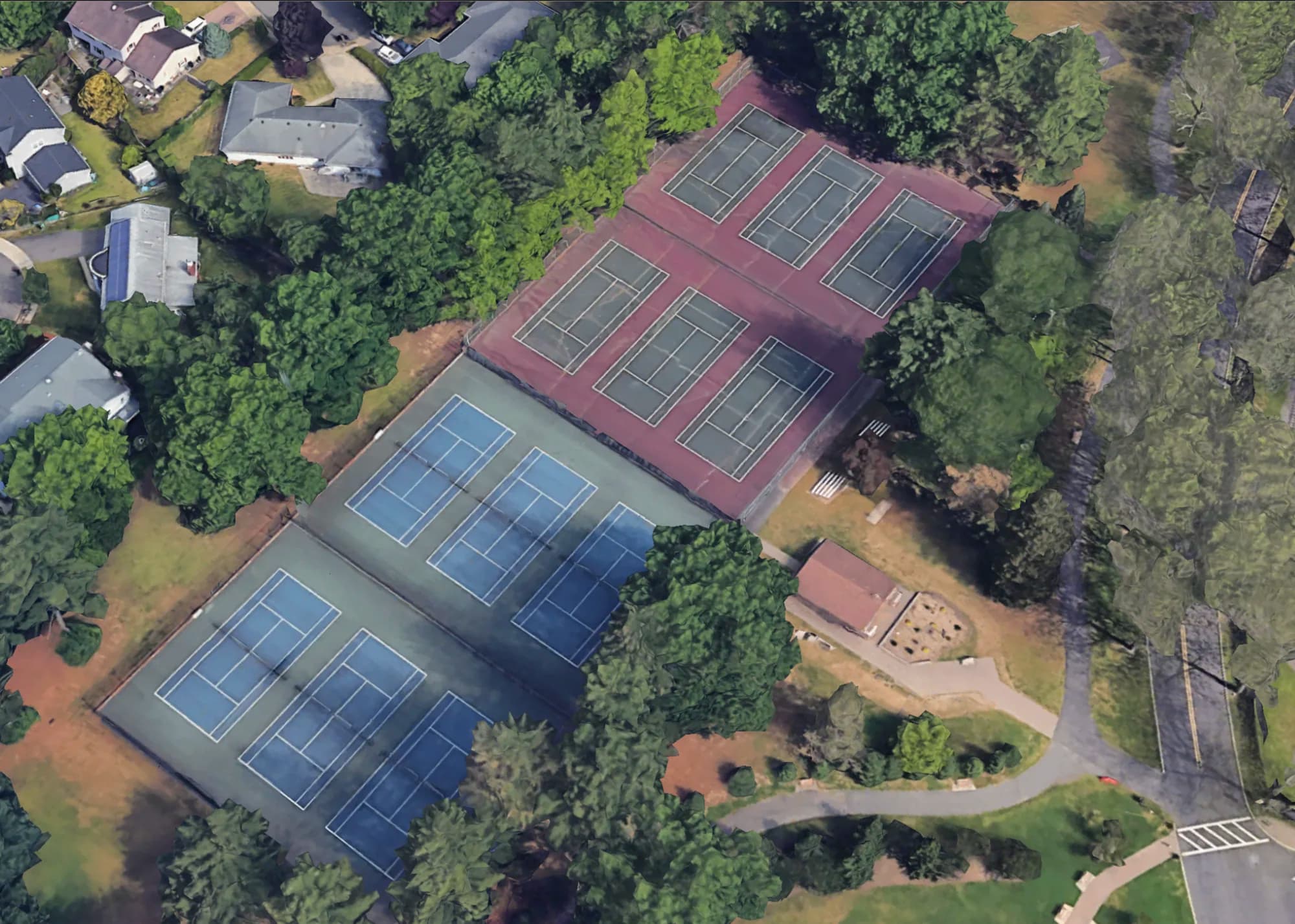
All servicesNext Service