Service
GISConsulting
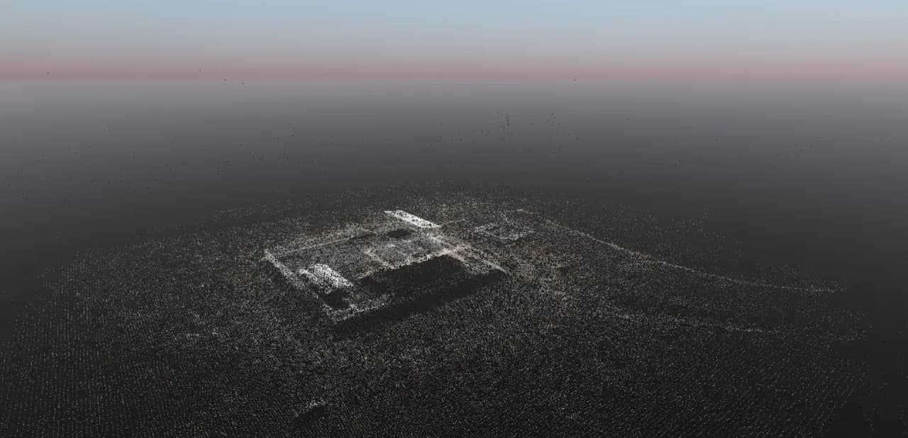
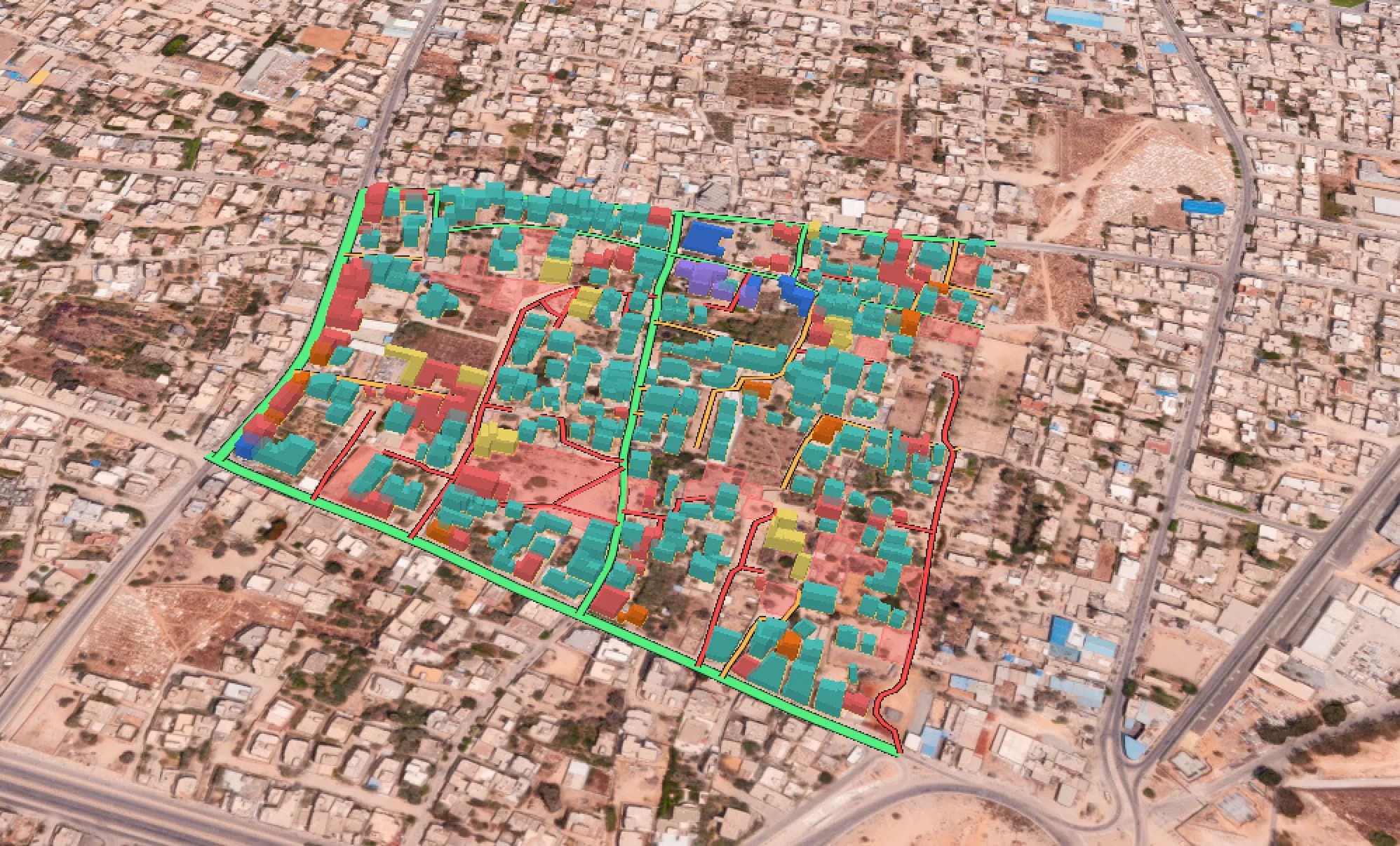
We design and build end-to-end: how data gets collected, where it gets processed, and how results land in front of decision makers as dashboards and custom applications. Secure, and private
Two kinds of clients walk in. Both leave with a running operation.
You have never run GIS
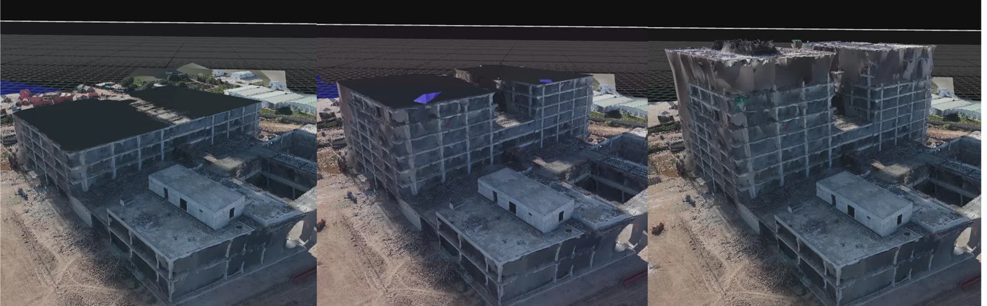
We stand up your first estate end to end. Collection on the ground and by remote sensing, processing in the cloud or inside your own walls, analytics on top, and dashboards for your teams.
You already run GIS
We audit what exists, re-architect what does not hold, integrate the systems that never learned to talk to each other, and train your staff on the tools and techniques they are missing.
The estate we hand over, end to end:
Collectground + remote
Processcloud or on-premises
Analysemodels + spatial analytics
Deliverdashboards + custom apps
Sustaintraining + capacity building
All servicesNext Service