TownPlanning&Surveying
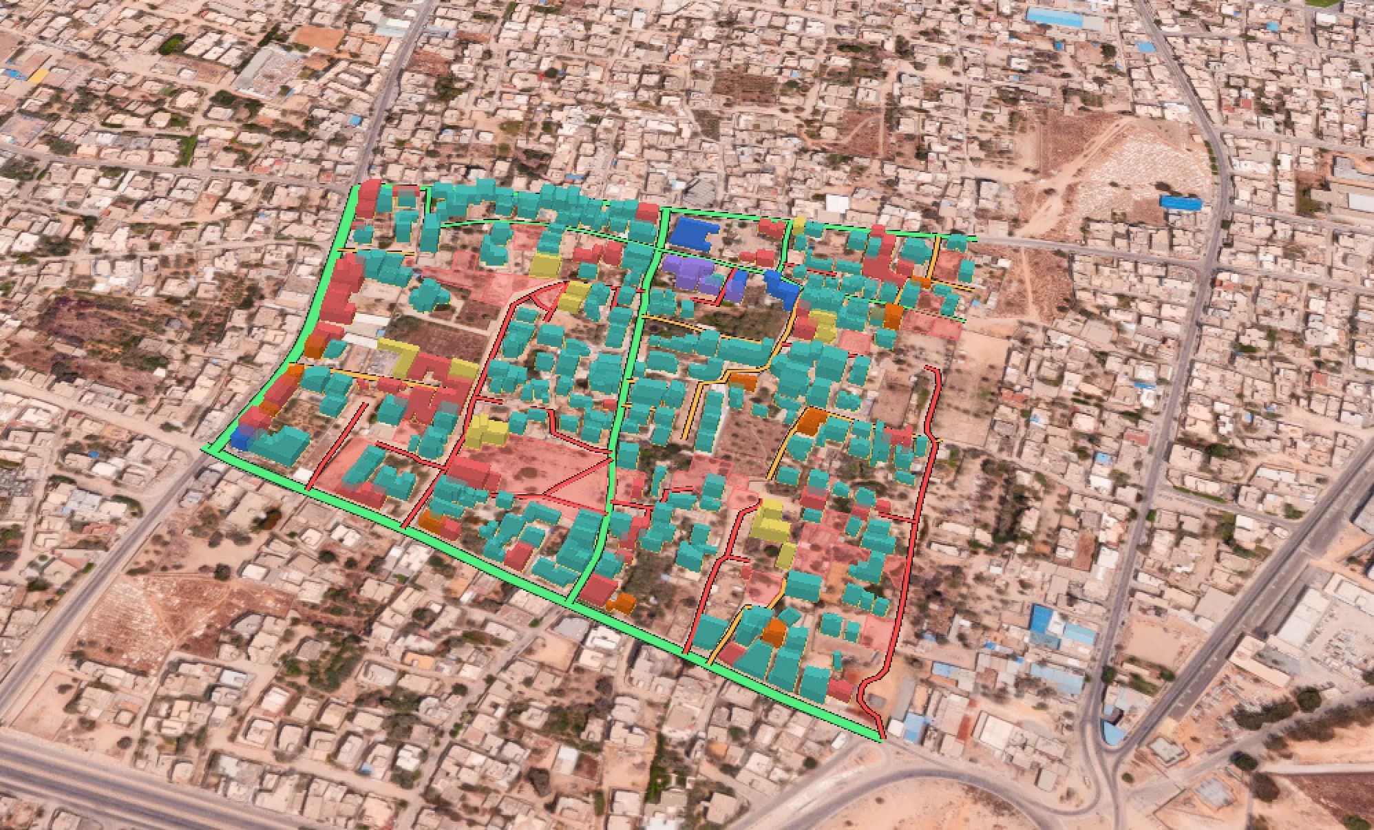
Planning decisions are only as good as the record of what exists. We put surveyors, drones, and instruments on the ground: geodetic control, cadastral boundaries, hydrographic depths, seismic lines, soil samples. We process data into clean spatial records and city-scale digital twins,
Our on-field services:
Ground control points
The control network that pins every other dataset to real coordinates.
Geodetic survey
Precise positioning held across large extents.
Drone survey
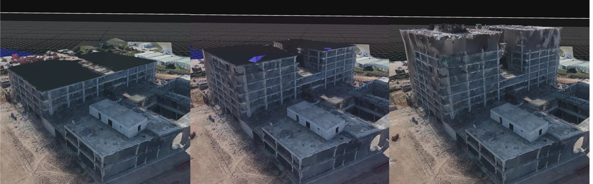
Photogrammetry flights: orthomosaics, point clouds, meshes.
Cadastral survey
Boundaries, parcels, and the record behind ownership.
Hydrographic survey
Depths, channels, and everything below the waterline.
Seismic survey
Subsurface structure for engineering and risk.
Soil analysis
Samples collected in the field, results delivered into your GIS.
Where the analysis needs samples, we collect them ourselves. Every deliverable lands as a clean spatial layer, ready for the planners and engineers who asked for it.