
Service
InfrastructureMonitoring
Critical assets fail quietly before they fail loudly. We build the eyes that catch it early, at whatever scale your problem lives: a whole city as a digital twin, a construction site reporting its own progress, a single building scanned down to its interior walls.
Whatever the scale of the asset, we build eyes for it.
City
1:10,000City-scale digital twins. Growth, land use, and change across whole districts.
Site
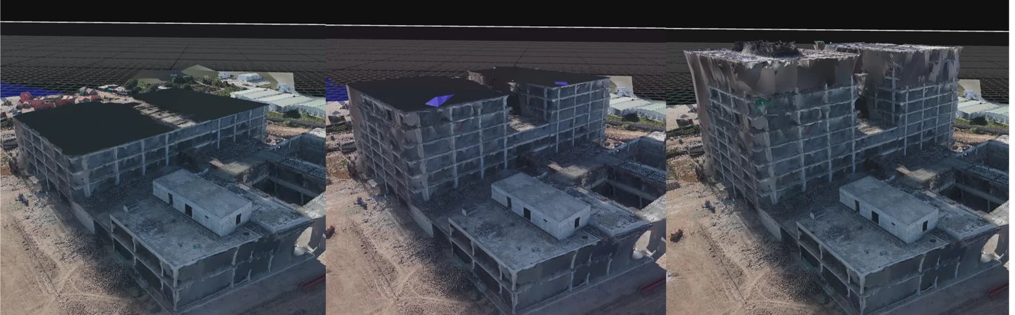
1:1,000Drone scans, progress reports, automated activity monitoring, materials management.
Structure
1:100Building-level digital twins and structural health signals.
Interior
1:1LiDAR interior scanning. Room-level as-built records, wall by wall.
Designed and deployed for WAPDA and the Planning Commission in Pakistan.
All projects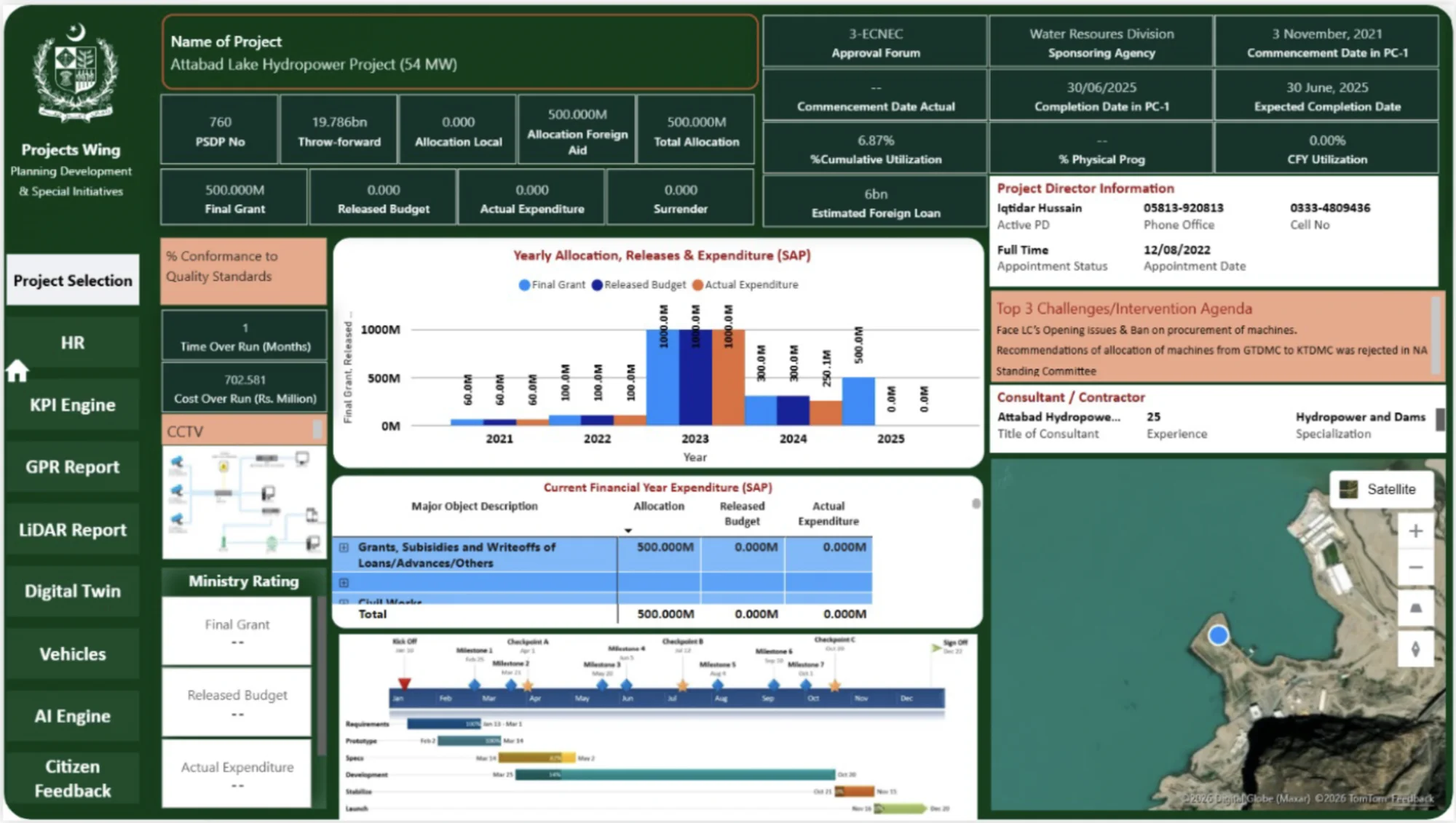
All servicesNext Service